PLAN IGN


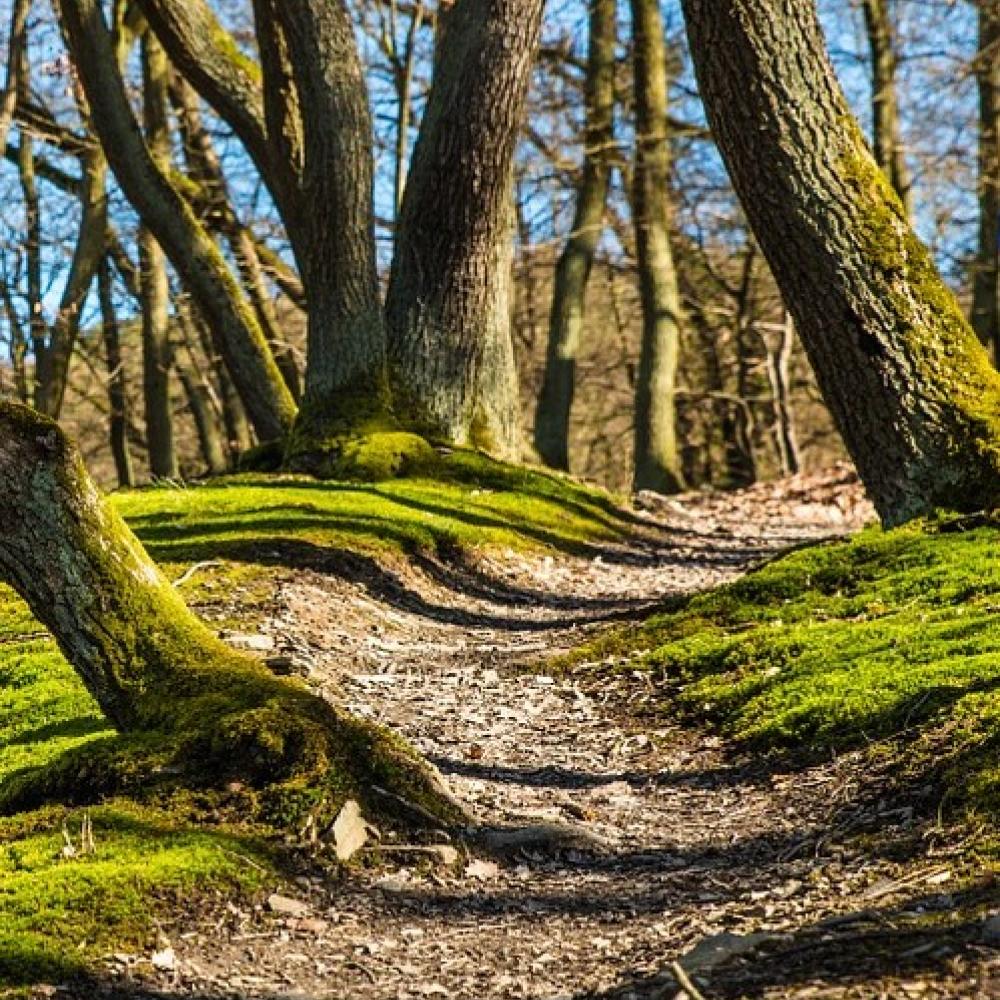
3,875 km - Au Y, prendre la branche de droite (= tout droit) et poursuivre jusqu'au carrefour des 4 chênes. Dans le carrefour, prendre à droite. Poursuivre pendant 900 m jusqu'à la chapelle sainte Apolline.
PLAN IGN
PHOTOS AERIENNES / IGN

OPEN STREET MAP